THE DESERT

For southbounders starting the PCT, the Southern California desert is a faraway and mystical land of flat trail and moderate weather. Almost no one gives this section a second thought until they cross Forester Pass and no longer have to worry about snow in the Sierra. While this section isn't half or a quarter as challenging as Northern Washington or the Sierra, you'll have to keep the PCT Water Report close, look for trail closures, and watch out for fierce storms.
DESERT VS. SOUTHERN CALIFORNIA
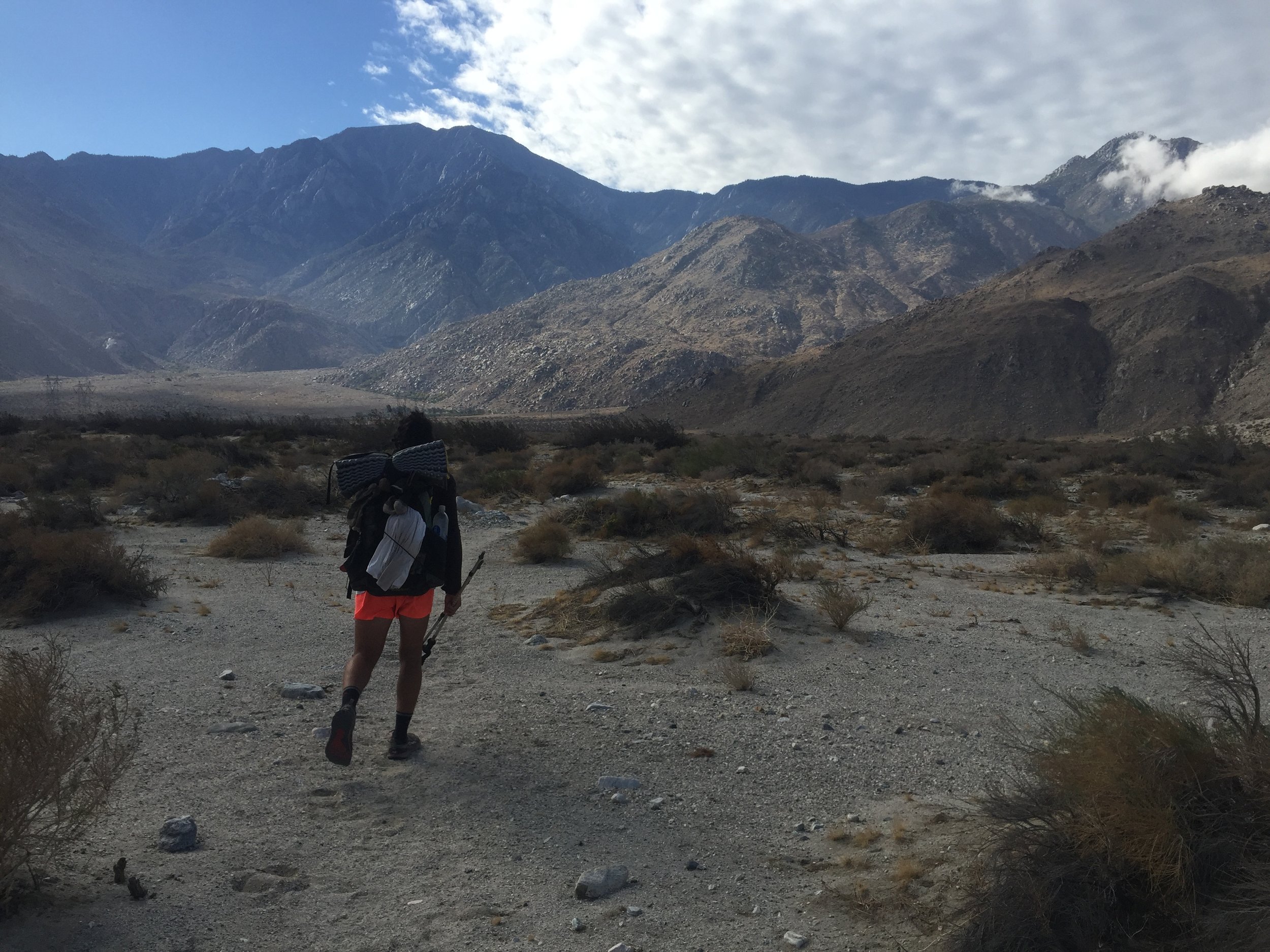
First it should be said that the term desert doesn't really apply to most of this section, and can add some confusion to what hiking in Southern California is actually like. If by desert you mean long water carries and dry water sources, then yes, that is true for almost all of this section. If by desert you mean low elevation, sand and cactuses, then most of this section won't fit that description. The trail stays mostly around 5,000 and 6,000 feet, and there are some intense climbs around Mt. San Jacinto and Mt. Baden-Powell. Also expect this to be the most trail town and trail angel rich part of the trail for SOBOs, featuring wonderful stops like Tehachapi, Hikertown, Hiker Heaven, Casa de Luna, Agua Dulce, Wrightwood, Idyllwild, Mike's Place, Warner Springs, and Julian.
WATER SCARCITY & THE WATER REPORT
As soon as the South Fork of the Kern River (12 miles north of Southern Kennedy Meadows), many streams, rivers, and springs will be dry by the time a normal SOBO passes through Southern California.
Unless you are one of the first 1-2 SOBOs to make it over Forester Pass, don't let these water issues scare you. The PCT Water Report is an extremely reliable resource for SOBO and NOBO hikers, and with the help of hikers in front of you it will be updated regularly. You can download a PDF of the report to your phone and access it in airplane mode. Trust the water report, send in updates on water sources when you get to town to help out other hikers, and always carry plenty of water.
There will be a couple of 30 or 40 mile water carries in Southern California. But at this point in the trail you'll be experienced enough to be fine. Some tips for these long water carries:
- Grab some extra water carrying capacity (1L plastic bottles) in Southern Kennedy Meadows or Lake Isabella.
- Stay glued to the PCT Water Report and always carry a bit more than you think you'll need.
- Be aware that the weather can change quickly. You might take 2L of water on a cloudy morning to do a 20 mile carry, but if the sun comes out you'd rather have brought 3-4L.
DESERT WATER CACHES
As more hikers have chosen to go southbound, trail angels in Southern California are now continuing to stock water caches into the fall and winter for southbound hikers. In the past these caches weren't maintained because there were so few SOBO hikers. Now as the popularity of going southbound increases, the resources in So Cal are being kept up for these hikers. You can easily check the latest status of a cache on the PCT Water Report.
Late October in the San Gorgonio Wilderness - South of Big Bear Lake and near Whitewater Preserve
RAIN AND FLASH FLOODS
While the weather in Southern California is likely to be moderate and comfortable, hiking in late October, November, and early December comes with the risk of rain storms and flash flooding. For example, four SOBOs this year were caught in a terrible storm on top of Mt. Baden - Powell near Wrightwood. Luckily the road to Wrightwood was only a few miles after the peak. Soaked and cold, the group hitched a ride into town and warmed up in a hotel room. Another pair of hikers were caught in a flash flood only a few miles from the McDonalds at Cajon Pass, and simply retreated back to Cajon Pass.
These kinds of escapes are very difficult in the Sierra but much easier to find in Southern California. Watch out for storms, but know that by this point in your hike you'll be very experienced, and with so many towns and roads nearby you'll almost always have a safe way to get off trail to wait out a storm.
SNOW, WIND, AND COLD WEATHER
While it's unlikely that you'll have to deal with snow in mid-October, there have been years where Baden Powell gets a snow storm as early as October 1st. Certainly into late November and December you can expect snow up in the higher elevations on Baden Powell and near Big Bear. There is also a high chance that you'll have some pretty cold desert nights, and it's important to not send home your warm weather gear in this section. Some nights it will drop below freezing, and depending on the weather you got in the Sierras this could be the coldest section of the trail for some SOBOs.
Lastly, So Cal is full of wind farms for a good reason. Especially near Tehachapi and Agua Dulce, wind storms can get intense pretty fast and prove a dangerous obstacle on exposed stretches of trail. This type of wind storm is pretty normal, so be prepared to stop and wait out a storm if conditions are not safe.
RATTLESNAKES
One great part of being a southbounder is that you'll rarely have to deal with rattlesnakes in Southern California. If it is cold out the Rattlesnakes won’t be out, as they mostly stay underground in the wintertime. That means that SOBOs are less likely to see one. A lot of people seem to be worried about these little creatures, but it shouldn't be something that's actively on your mind in Southern California.

TRAIL CLOSURES
Fires can strike anywhere on the PCT, but the dry and hot Southern California section is especially vulnerable. Check the PCTA's Trail Conditions and Closures page for information as you enter Southern California. In 2016 three parts of the trail were closed for SOBOs. The Powerhouse Fire closed the trail just south of Hikertown for 16 miles, the Sand Fire closure cut off 30 miles from Agua Dulce south, and an 11 mile Mountain Fire closed the trail just after Mt. San Jacinto. Two of these three closures had official walk-around routes (mostly road walking), while the Sand Fire did not. You probably aren't wanting to hike the PCT so that you can hike on a road, but these sections can be a fun change of pace. For closures where there isn't an official route around the fire, this usually means the roads have too much traffic or not enough shoulder to support safe road walking. If you decide to road walk anyway, be extremely careful.
One further danger is that heavy rains can wash away trail, especially in areas where there has been a recent forest fire. In 2016 there were some bad washouts north of Cajon Pass. This can make steep sections of the trail very dangerous. Just be careful, and DO NOT walk through sections of trail that have been closed by the PCTA.
Finished reading about risks in Washington, The Sierra, and So Cal? Move on to see detailed SOBO profiles and general SOBO blogs and website.